

Geographic Information Systems
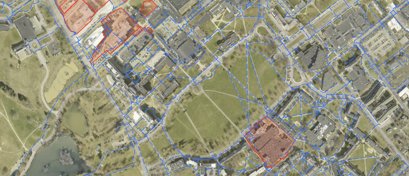
Campus Planning, Infrastructure, and Facilities GIS team maintains Facilities Geographic Information Systems (GIS) data for the University, which includes detailed maps and information about water distribution, sanitary and storm sewers, chilled water, hot water, high and low pressure steam, topography, transportation and parking systems, and building footprint data. Only Virginia Tech employees can view or alter certain maps and data based on their individual permissions. However, some maps are produced for the general public with no need for login credentials.
ArcGIS Online
ArcGIS Online is a complete mapping and analysis solution for the Virginia Tech professional community. Anyone with a Virginia Tech email address and a business need to know may request and be granted access. Different departments are placed in groups according to their mission needs, which keeps sensitive data secure. Please note that access may be limited to certain features depending on departmental needs.
New users must submit a request for access to ArcGIS Online by providing a short paragraph as to why access is needed. In this request, please be sure to include specific maps or data you wish to have access to, your purpose for requesting access and how you will be utilizing the data. Please be specific with your request to ensure access to the correct groups within the system.
Users requesting access must submit their paragraph to all members of the GIS team at the following email(s) for consideration:
- Mike Justice (justicem@vt.edu)
- Mike Ryba (mryba@vt.edu)
For more information, contact Mike Justice at 540-231-9909.